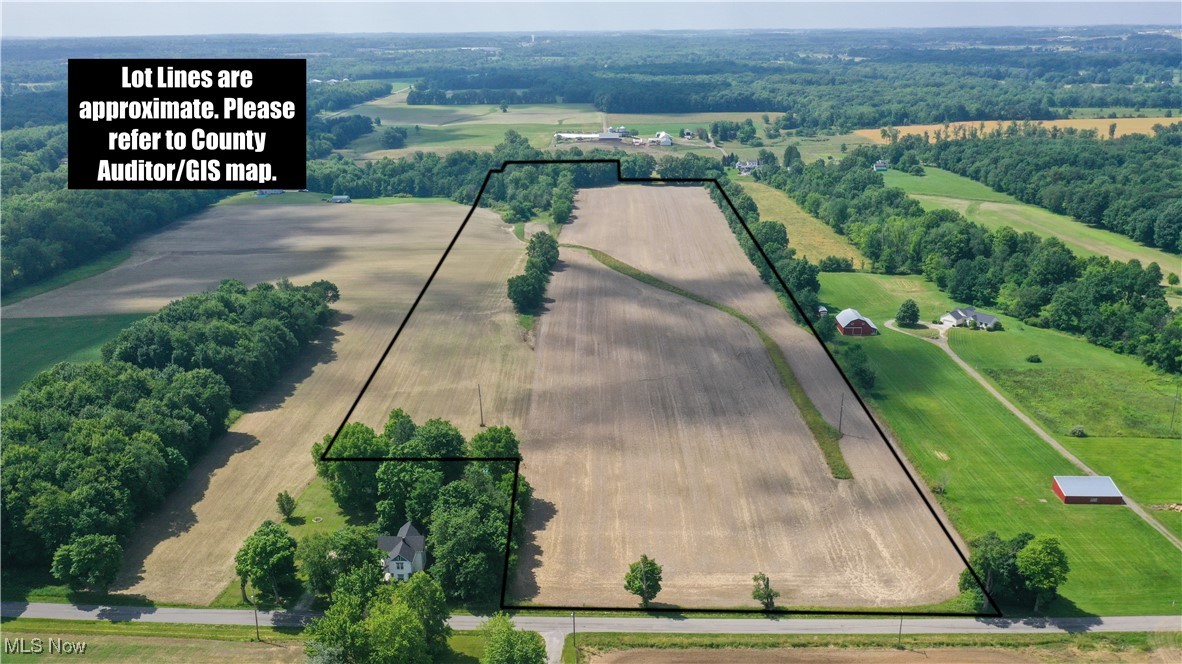
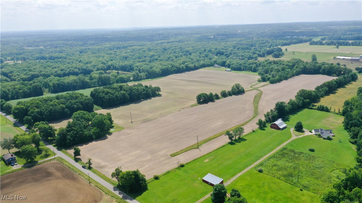
Aerial view of outlined farmland with wooded edges, road frontage, and a house near the front boundary.
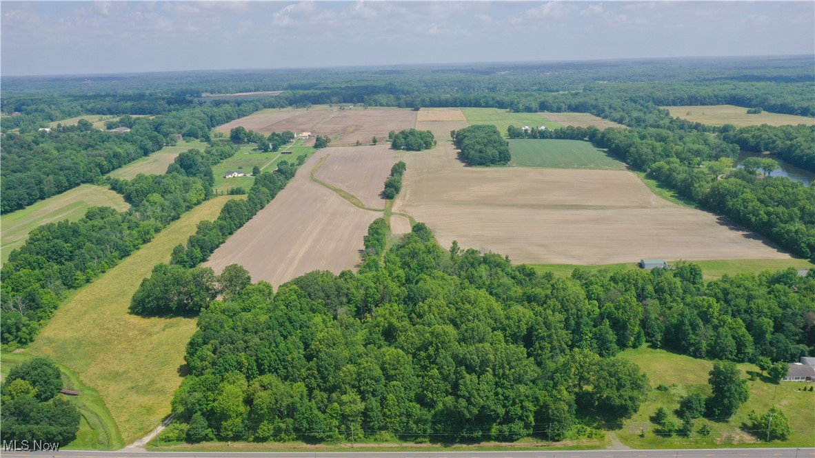
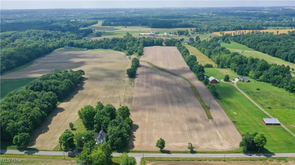
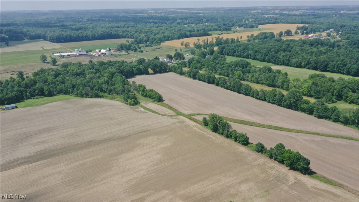
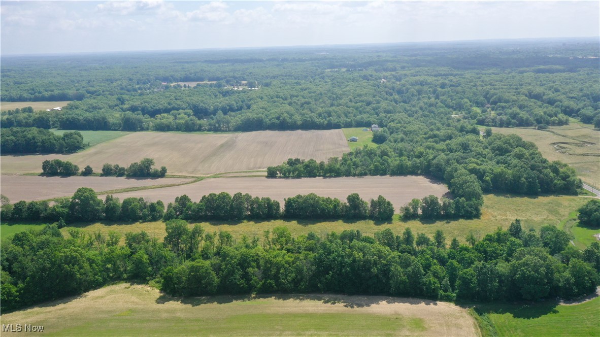
Aerial view of farmland and wooded acreage, with open fields and a road along the foreground.
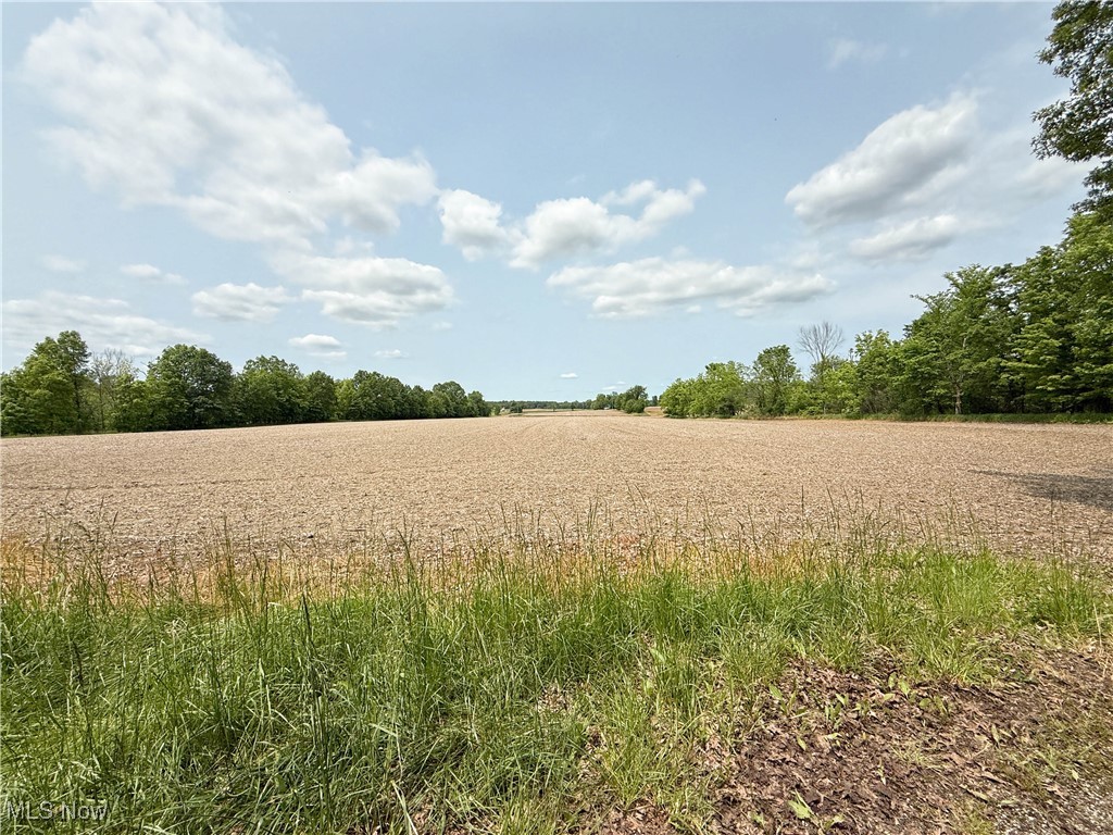
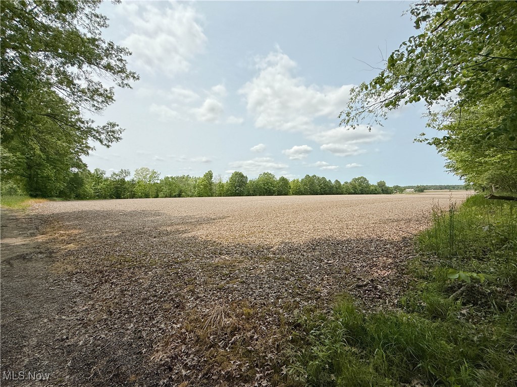
Open field bordered by trees, with tall grass in the foreground.
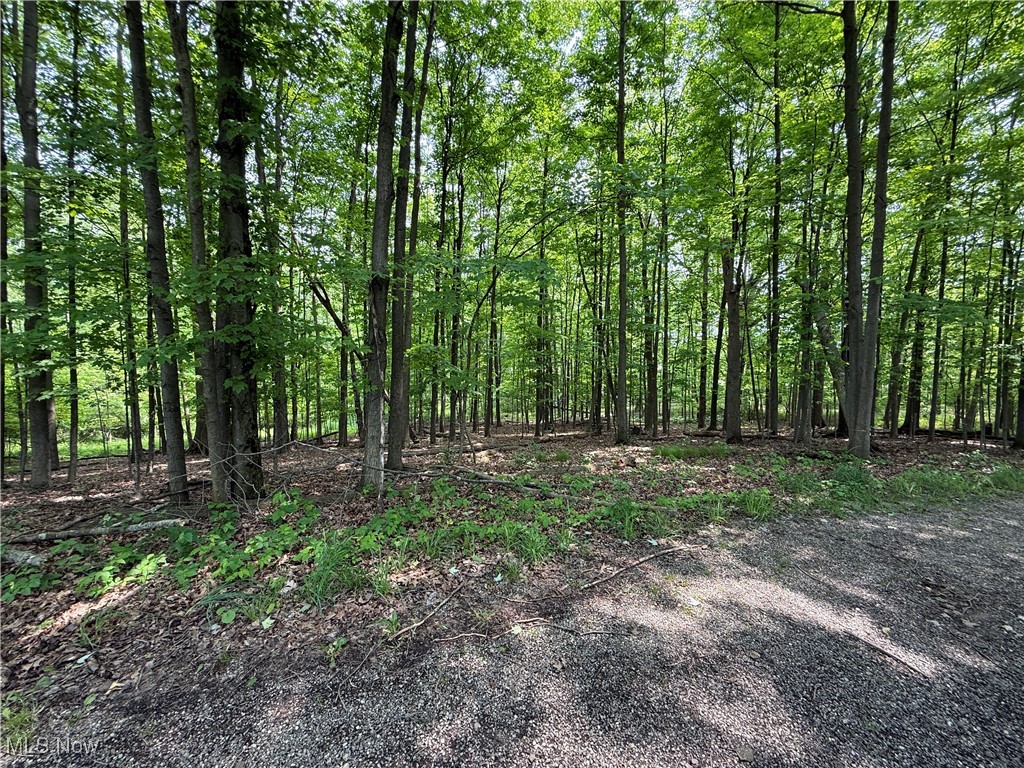
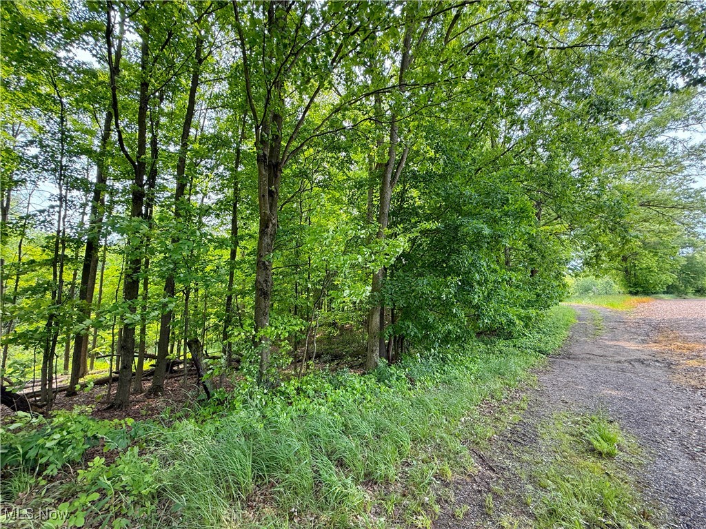
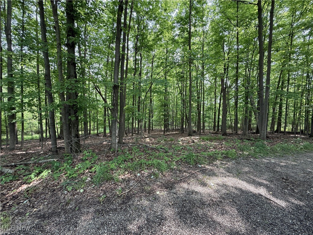
Wooded lot beside a gravel road, with dense trees and sunlight filtering through the canopy.
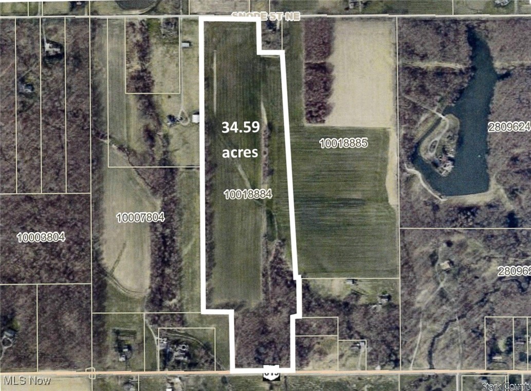
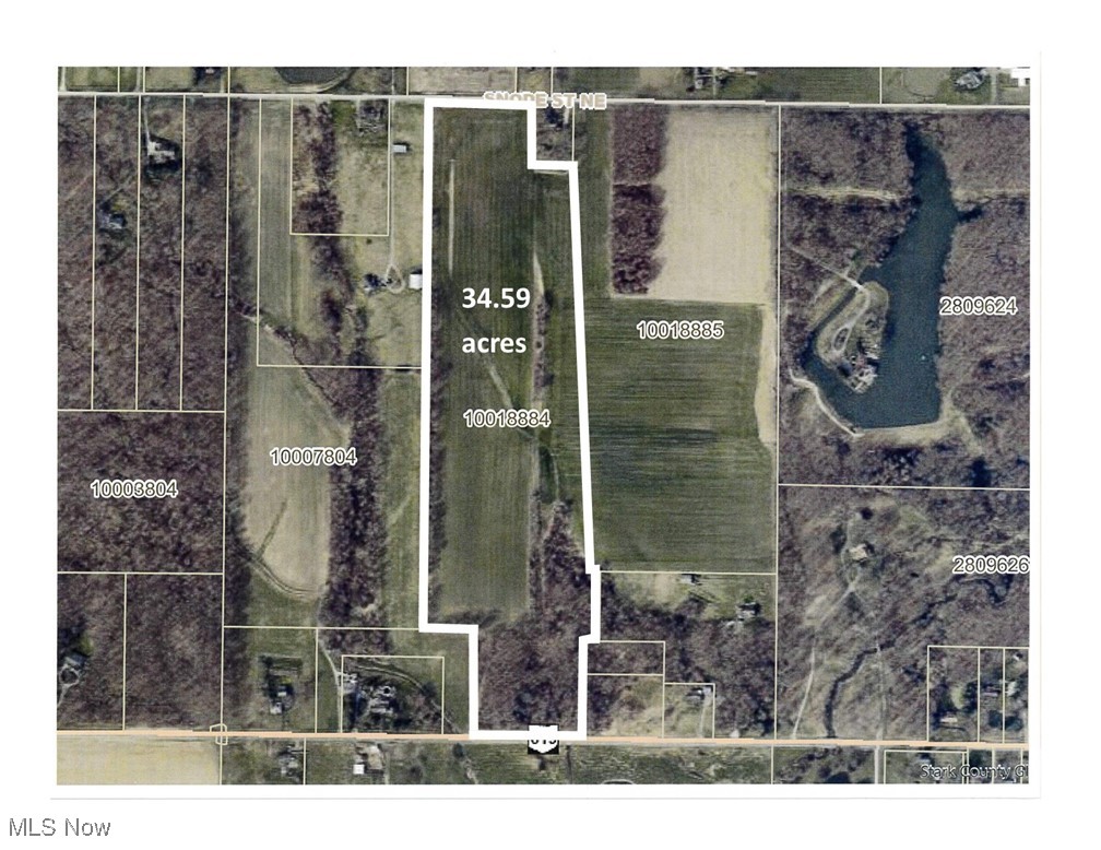
Aerial view of a 34.59-acre parcel outlined in white, with open fields and wooded areas along Snode Street NE.
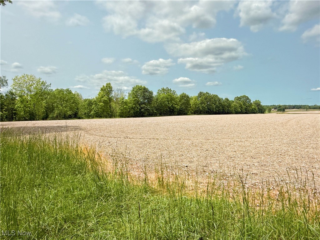
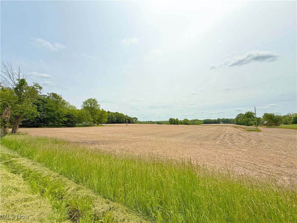
Open field bordered by tall grass and leafy trees beneath a partly cloudy sky.
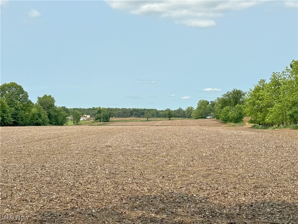
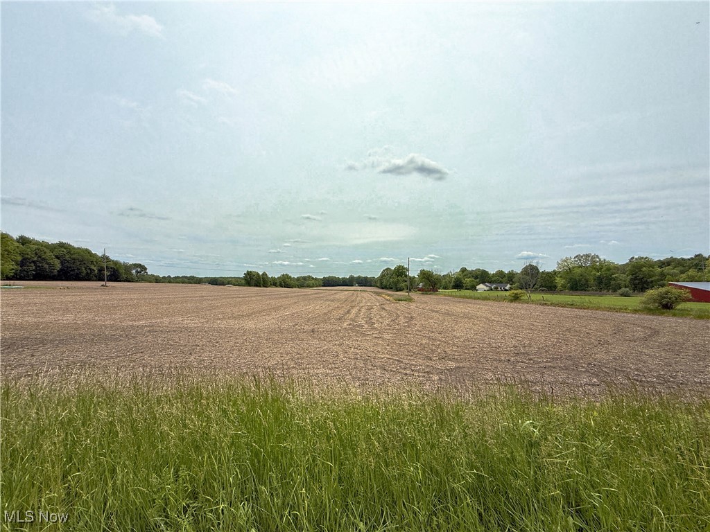
Broad tilled field bordered by trees, with a distant tree line and small buildings.
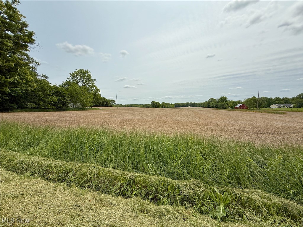
Open harvested field with distant trees, homes, and a red barn.
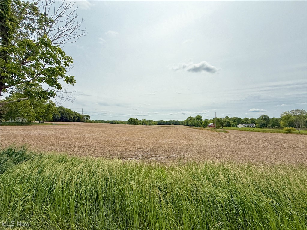
Open field bordered by trees, with tall grass along the foreground.
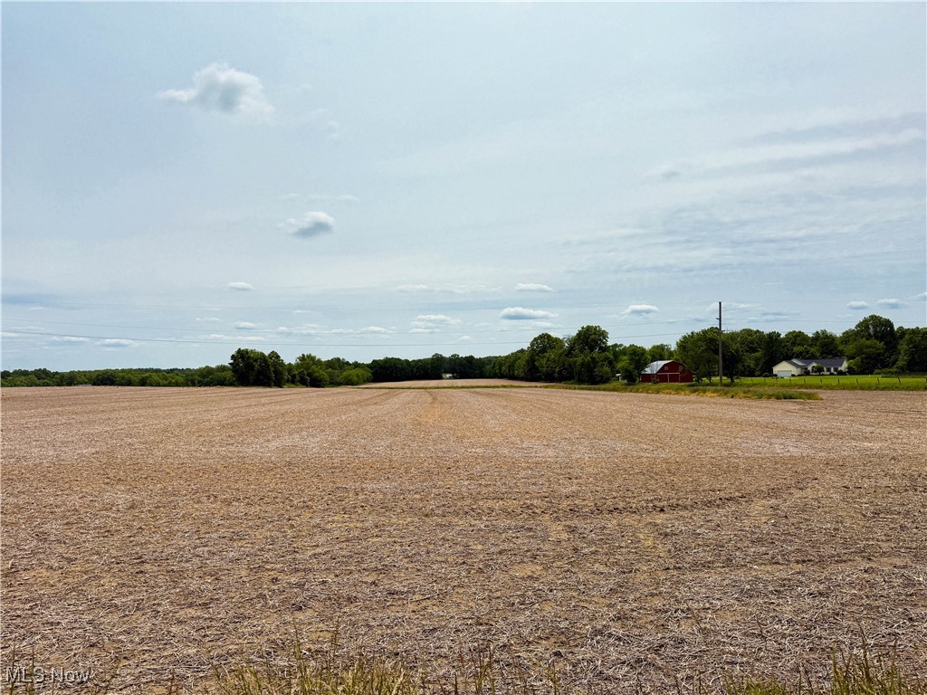
Rural field bordered by tall grass, with a distant tree line and red barn.
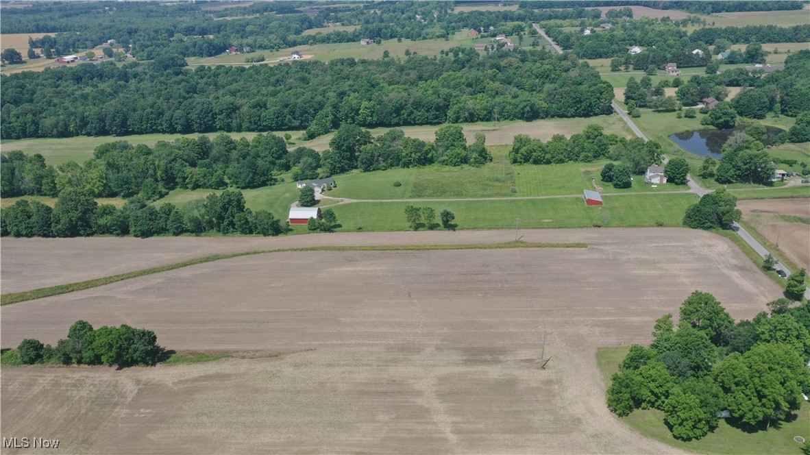
Open plowed field bordered by tall grass, with distant trees and farm buildings.
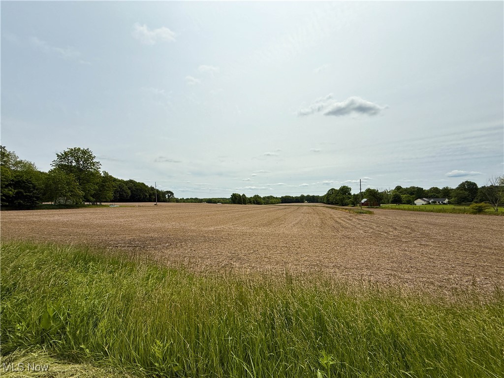
Open cultivated field bordered by trees, with tall grass in the foreground.
Rural field with tall foreground grasses, distant trees, and scattered farm buildings.
Cleared land bordered by trees, with a gravel access track and open fields in the distance.
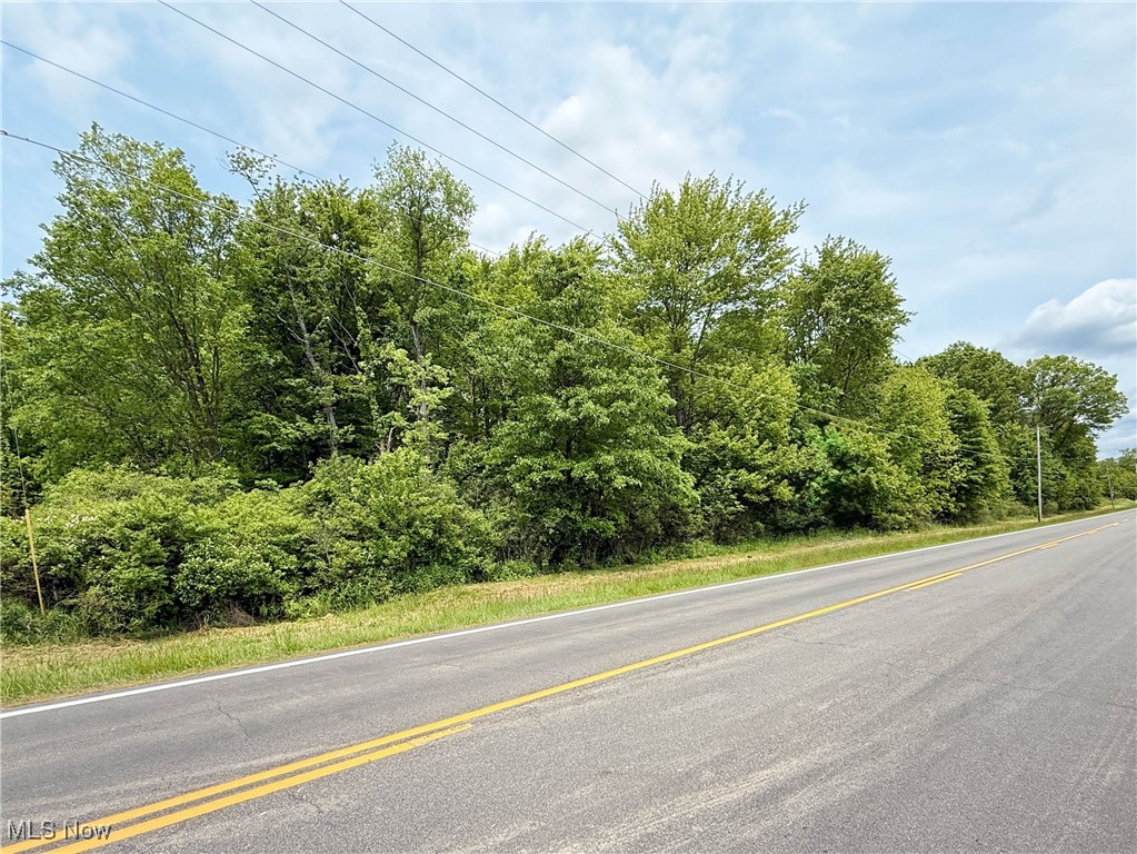
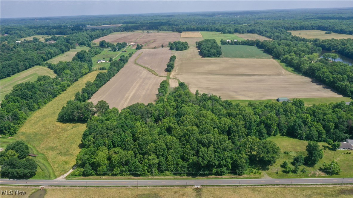
Wooded parcel beside a two-lane road, with dense trees and overhead utility lines.
Wooded property with mature trees and dense greenery beside a gravel drive.
Wooded lot with mature trees and a gravel road along the foreground.
Aerial view of cultivated fields and woods, with a house and barns beside a rural road.
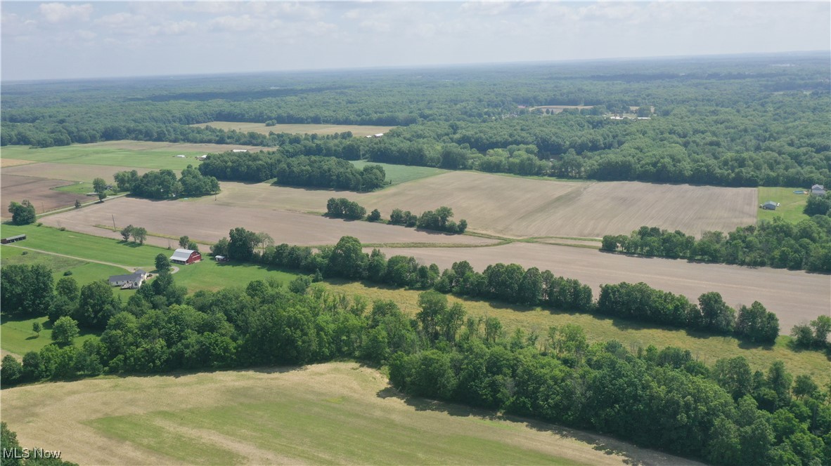
Aerial view of expansive fields, with a tree-lined house near the road and a red barn.
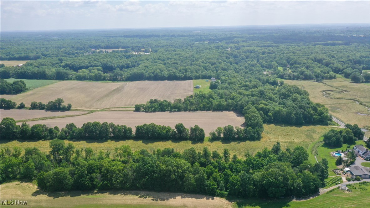
Aerial view of rural acreage with a plowed field, tree-lined lawn, homes, and red barns.
Aerial view of cultivated farmland bordered by woods, with farm buildings in the distance.
Aerial view of wooded acreage and open fields beside a road.
Aerial farmland with broad fields, tree lines, and scattered farm buildings.
Aerial view of wooded farmland, open fields, scattered homes, and a nearby road.
Aerial view of open fields and wooded acreage stretching across the countryside.
Aerial farmland with broad cultivated fields, tree-lined edges, and scattered homes and barns.
Aerial view of a 34.59-acre parcel outlined in white among fields and woods.
VIEW PHOTOS
$350,000

Snode Street NE

34.59 Acres

Description

First time on the market! This beautiful property in Lexington Township offers just under 35 acres of land that has been in the same family for generations. Approximately 28 acres are tillable and have been farmed regularly. The land stretches from Snode St. NE to Edison St. NE, where you'll find about 4.5 acres of gently sloped woods. Whether you're looking to expand your farming operation, build a private retreat, or invest in land with long-term potential, this property presents a versatile opportunity. Don't miss your chance to own this beautiful piece of property!

Share Property

Location

Snode Street NE, Alliance, OH 44601

Status

Sold

Date Sold

August 11, 2025
Valerie Park

Valerie Park

TITLE

REALTOR®

Property Amenities

Area & Lot
Lot Area 34.59 Acres
MLS® ID 5127627
School District Marlington LSD - 7608
Type Land
Status Sold
Exterior
Water Source None
Sewer None
Parking None
Lot Features Agricultural, Farm, Irregular Lot, Level, Cleared, Flat
Utilities Sewer Not Available, Water Not Available
Finance
Sales Price $350,000
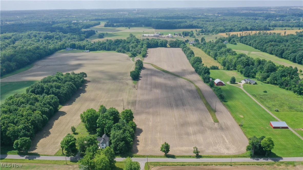
Aerial view of farmland and wooded acreage, with open fields and a road along the foreground.

360 Virtual Tour

Take a tour of this property

Work With Valerie

Work with an experienced REALTOR® who puts your needs first, communicates every step of the way, and stays committed to your goals from start to finish.